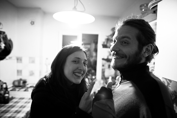
It was a chance encounter.
We had met Petrit and Gloria only the morning prior, as we ate breakfast in Selcuk and prepared to go our separate ways. They told us about their trip, and we learned that theirs was remarkably similar in both scope and itinerary to our own. We had each been in Istanbul in the same week; but while we are headed for Thailand to teach, they are on an immigration to Australia, Petrit’s home country, after three and a half years in Gloria’s native Italy.
We got along right away, and enjoyed 30 minutes of conversation over breakfast. But as our plans were sending us separate ways, we didn’t really expect to see each other again. I hastily told Petrit how we had scoped out what sounded like a great village near a coastal national park, and intended to go there to take a break from ancient sites for a day or two.
So it was a pleasant surprise to see them turn up at the Ecer (pronounced “Ejer”) Pansiyon shortly after us, and very nice to hear that they were interested in joining us on a hike the following day in nearby Dilek National Park. Little did we know what was in store…
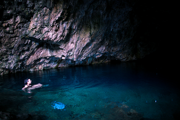
We started the day late, which was probably the worst mistake of all, but we were enjoying the breakfast and the company of Ecer-owner Nacep (pronounced Najip) so much that we were happy to kill the early morning kicking around the pansiyon. After an exhilarating swim in the nearby Zeus Magrasi, we all felt this was turning into a perfect day. Maybe if we had stopped then, it would have been, but instead, we walked the 1km or so to the entrance of the park.
The attendant at the ticket booth didn’t speak English, but he was friendly enough, and at least semi-helpful in interpreting the crude park map. We felt reasonably confident that he was telling us that our planned hike–a long loop around ancient Mt. Mycale’s jagged peaks–was a mere 17 km, a distance perfectly doable in one afternoon. So, we set off down the road to the Kanyon Hike trail head. The weather was beautiful and the day still seemed full of promise.
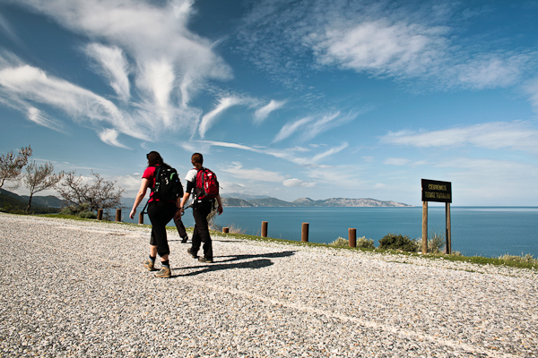
By now, it was shortly after lunch time, but we figured we only had 17km to get back to the Ecer. Based on the map, that seemed about right, so we enjoyed a short break and set off on the Kanyon trail.
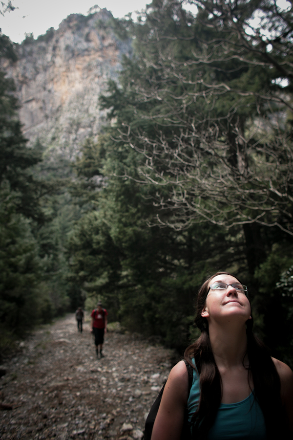
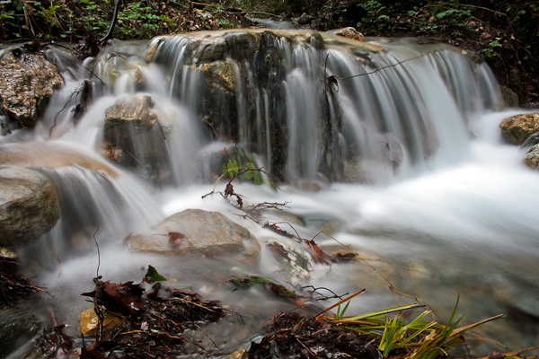
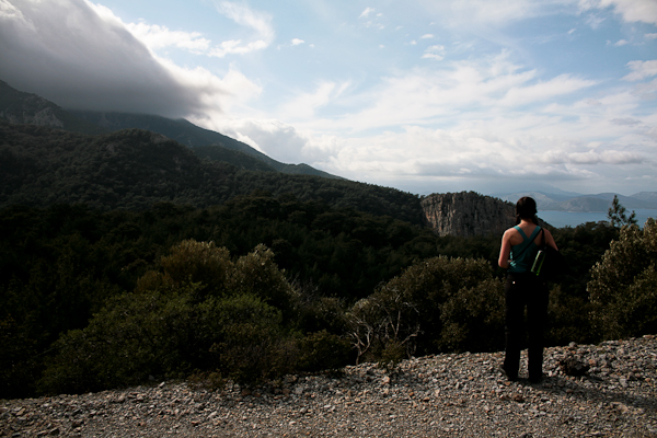
Looking back, I can tell from the huge gap in my photos at which point in the day my mood went from optimistic and cheerful to apprehensive and stressed out. Apparently my desire to shoot photos disappears when I’m concerned about being lost in the mountains, but I’ll try to fill the blanks with some hasty narrative.
By the late afternoon we had made our way through the Kanyon and climbed about 800m in altitude towards the crossroad where we needed to hook left. Based on our assumptions, we expected to reach the crossroad by about kilometer 6 or 7. We climbed higher. When we hit kilometer 9 with no crossroad in site and after some steep ascents, Laura and I were beginning to get concerned. Gloria and Petrit were bringing up the rear and we started to think that maybe the hike was longer than we had assumed. Looking at the map again, something clicked, and I realized that the hike we were on was listed in a confusing way on the index. According to this, it seemed that we were looking at closer to 35km, not 17! Shit!
But having come at least 15km, turning around just didn’t feel like an option. “Besides,” we told ourselves, “this map is so crappy, it’s probably just wrong. That can’t be right.”
We hit the crossroads shortly after. So, with a slightly brisker pace, and a slowly growing sense of dread, we set out again. Immediately, we found ourselves climbing still higher. Before we knew it, we were in the clouds…
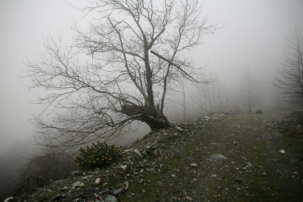
It was in this fog, about 1 km above sea level that things took a turn (literally!) for the worse. Unable to see the landmarks all around, Laura and I came to a perfect fork in the road. Gloria and Petrit were about 10 minutes behind us, so we stopped and scratched our heads, trying to remember Nacep’s instructions. “Take two lefts, and then a right, where the road goes down.” Of course, when he was saying this, none of us were really paying attention. It’s a national park hike, we figured, it’ll be marked…
So Laura and I were at the junction. Left? or Right? The left road continued to climb. The right road started to descend. Surely we were at the point where it was time to descend… If only we could see some landmarks.
“Let’s go right!” we agreed, although both of us commented later that our guts’ were telling us to go left. We left an arrow for Gloria and Petrit to follow our lead and set off to explore the road down. But after a bit, I started getting serious doubts. The road seemed to be descending too rapidly, crisscrossing down the mountain in the direction away from Guzelcamli and the delicious potluck dinner we had planned to hold.
We turned back to find Gloria and Petrit, to see if they agreed with our decision. Sure enough, they also felt this must be the right road. So, we dropped further. By the time we fell back below the clouds, I was sure we were on the wrong track, but with less than two hours of daylight left and the prospect of climbing back up into the formless void, we decided it was probably better to just get off this damned mountain. So we kept following the road.
But the road was clearly built for vehicles, not people on foot. It cut back and forth across the mountainside in a serious of long switchbacks and hairpin turns. So while we would walk for 500 m in one direction or the other, we would maybe only descend 20 or 30 m. The steep cliffs and scraggly plants kept us from setting off straight down, so we stuck to the road. And walked. And walked, and walked.
Switchback after switchback, hairpin, after hairpin. We walked. The sun went down, so we walked in the dark, with bouncy flashlight beams to light the rocky road.
By the time we finally reached the valley floor, and the small village we had seen from the mountainside, the stars were out. We found an older gentleman on the street. We asked him how far it was to Guzelcamli.
“Elly kilometre,” he said.
“No, that can’t be right,” we said to each other in English. “Ask him again.”
“Elly kilometre.”
In Turkish, Elly is the word for 50. Not 17. Not even 35. Fifty.
We had walked oursleves 50 km from Guzelcamli and the warm hospitality of the Ecer Pansiyon. Luckily, after some more hand signals and garbled Turkish, the man agreed to drive us back for 50TL (about $35).
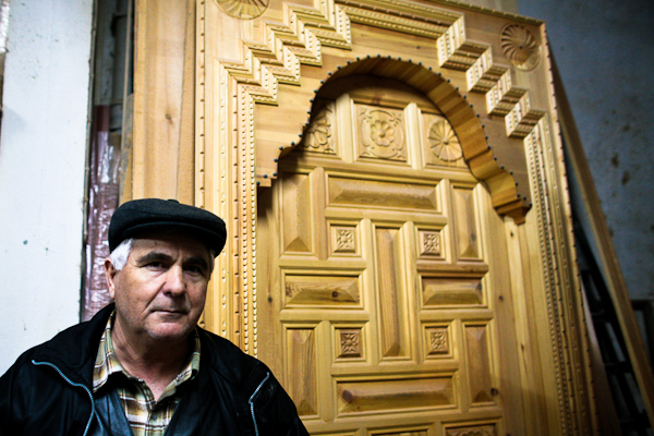
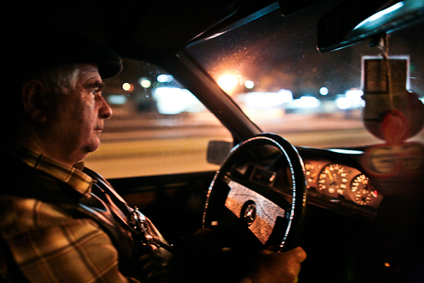
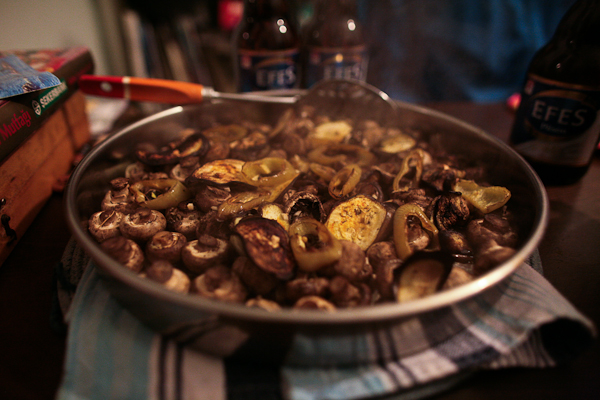
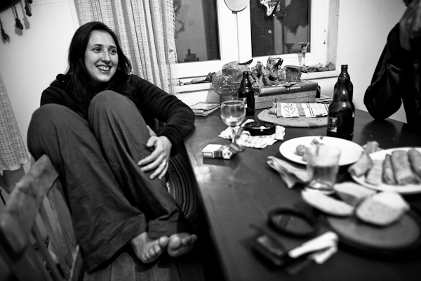
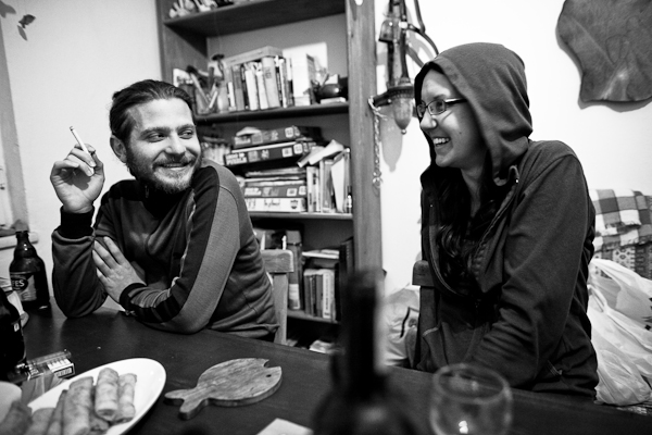
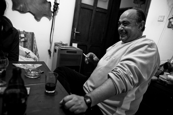
When we arrived, we were greeted by smiling Nacep. Although we were all tired, we went ahead with dinner, and managed to share some drinks, stories, food and laughs until well into the wee hours.
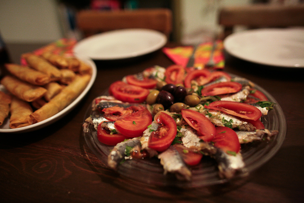
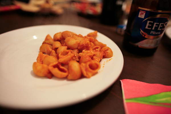
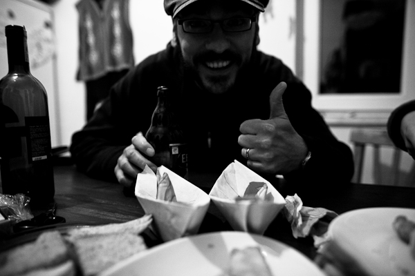
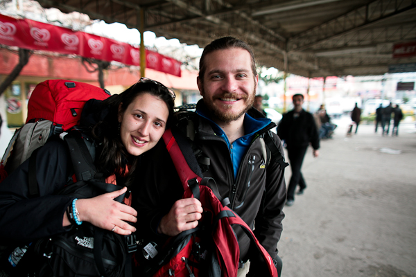
It was a chance encounter, and although it wasn’t the perfect day we had hoped for, it was one of the best we’ve had to date.

Leave a Reply